Collection: Maps for Kids Collection
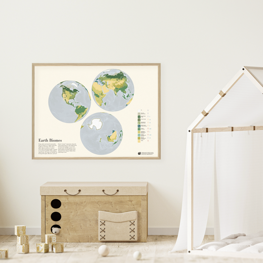
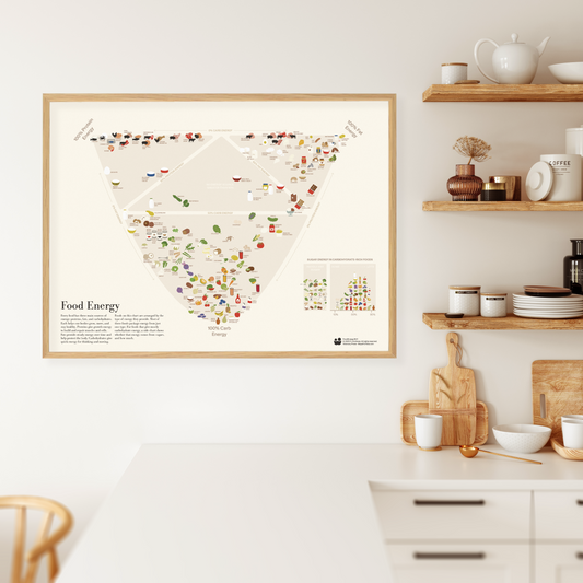
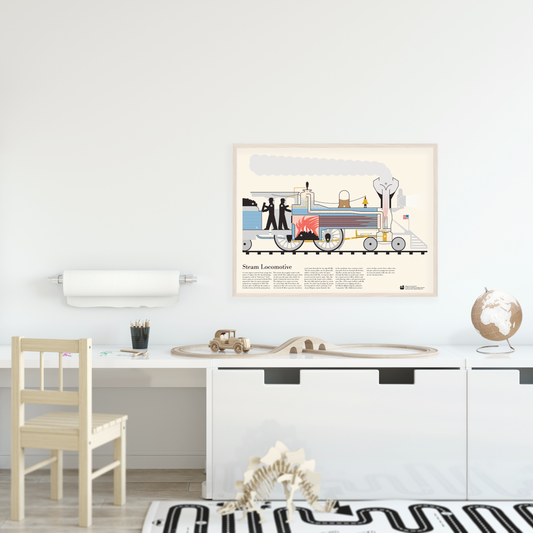
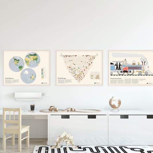
Maps for Kids starts from a simple idea: almost anything can be treated as a map. Geographic projections, pictorial diagrams, and statistical charts are all ways of flattening the world so we can see and understand better. But the real magic happens when we enjoy those maps together. Each design is meant to be read together—loaded with kid-sized points of engagement and quiet cues for parents, big siblings, and teachers to help narrate what’s going on.
Want to learn more about the series? Check-out its dedicated page.
Choose any single poster or get the three-poster set (at a discount). It is a balanced introduction to information graphics: one diagram, one chart, one map.