VISIONARY PRESS
Cross-sections through California
Cross-sections through California
Couldn't load pickup availability
A double-sided portrait map of California to fold, hang, and enjoy. With cross-sections, land cover, and charts detailing California's people and natural resources.
Designer: RJ Andrews
Size: 28.625 × 9.625 in (727 × 244 mm)
Material: 80# uncoated paper
Packaging: Bound in custom envelope
Publication: 2020
California is too big. You cannot see it all on the digital maps we use every day. To understand California—its peaks, biomes, and natural wonders—you need a bigger canvas. You need a map you can hold.
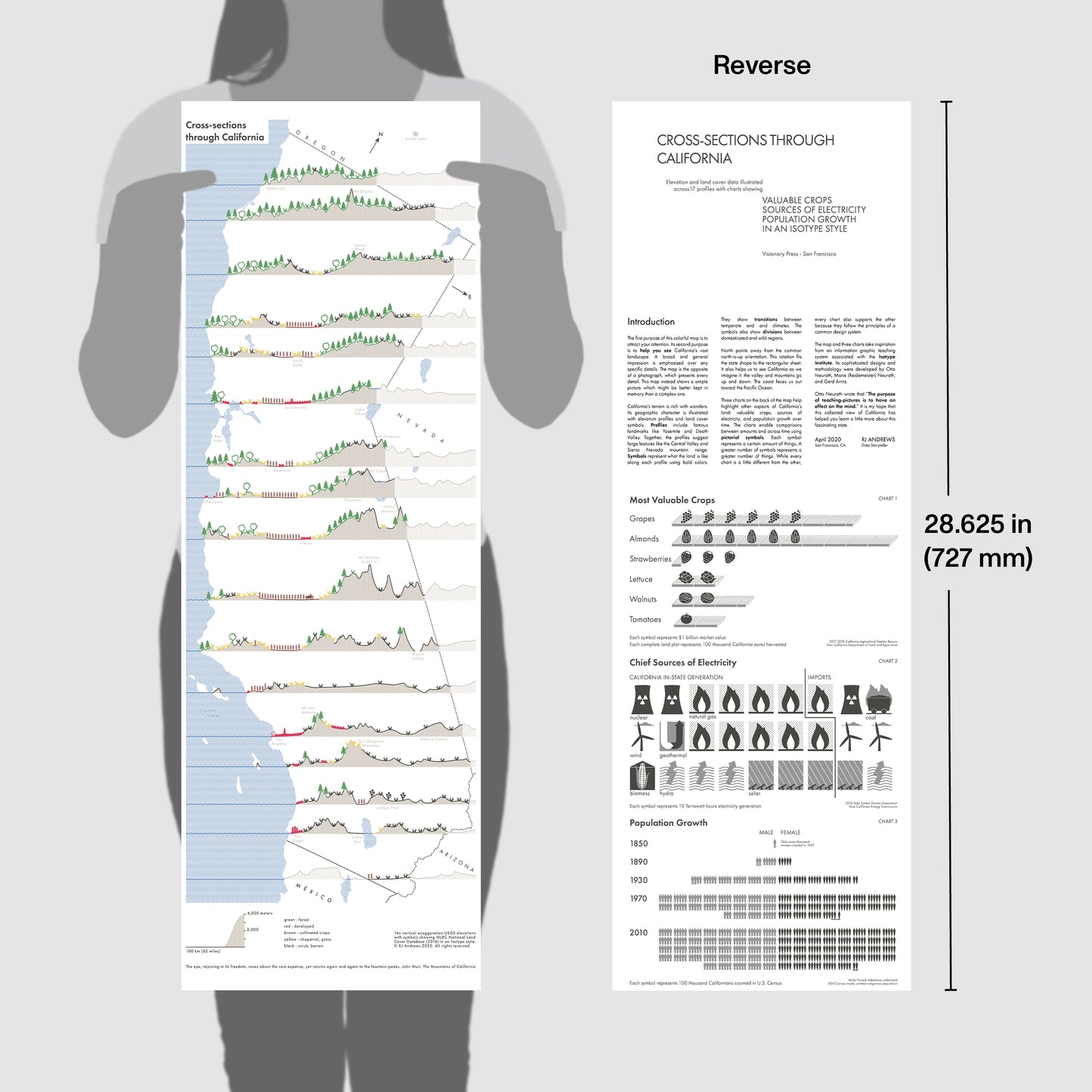
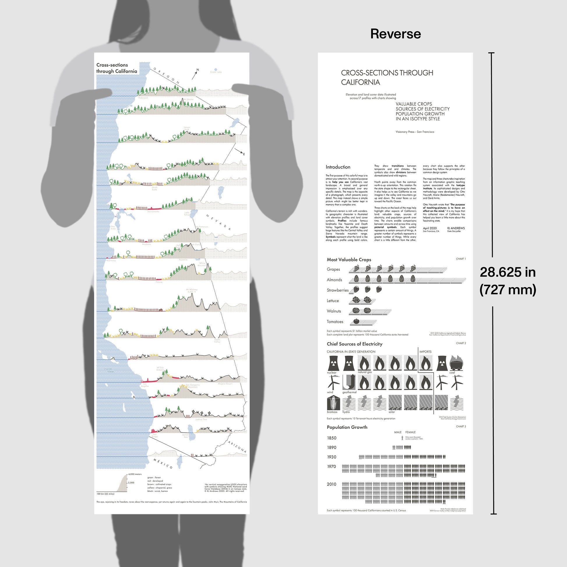
Cross-sections through California is a map you can revisit again and again—each time seeing something new. It features 17 cross-section profiles, each one carefully selected to highlight California’s tall peaks, famous National Parks, lush valleys, and dense urban centers. Along the profiles are symbols that indicate land coverage. The map's angled orientation mirrors how we think about California: the mountains and central valley run up and down. The coast faces out.
The elevation profiles and land cover symbols help you understand California's defining geography: tall mountains, a flat central valley, and long Pacific coast. When you hold the map you will notice how the south is much drier than the temperate north. Many details await your inspection: famous lakes, peaks, parks, and more.
The map's reverse side includes introductory text and three pictographic charts concerning California's most valuable crops, chief sources of electricity, and population growth since 1850.
The map revives a cartography style associated with the Isotype Institute. Led by Otto and Marie Neurath, the Isotype Institute collectively designed and published many cross-section maps with land cover symbols in the 1940s. It is a style that deserves revival. Real Isotype maps were by my side throughout the creative process for texture, color, symbol, and line-smoothing reference.
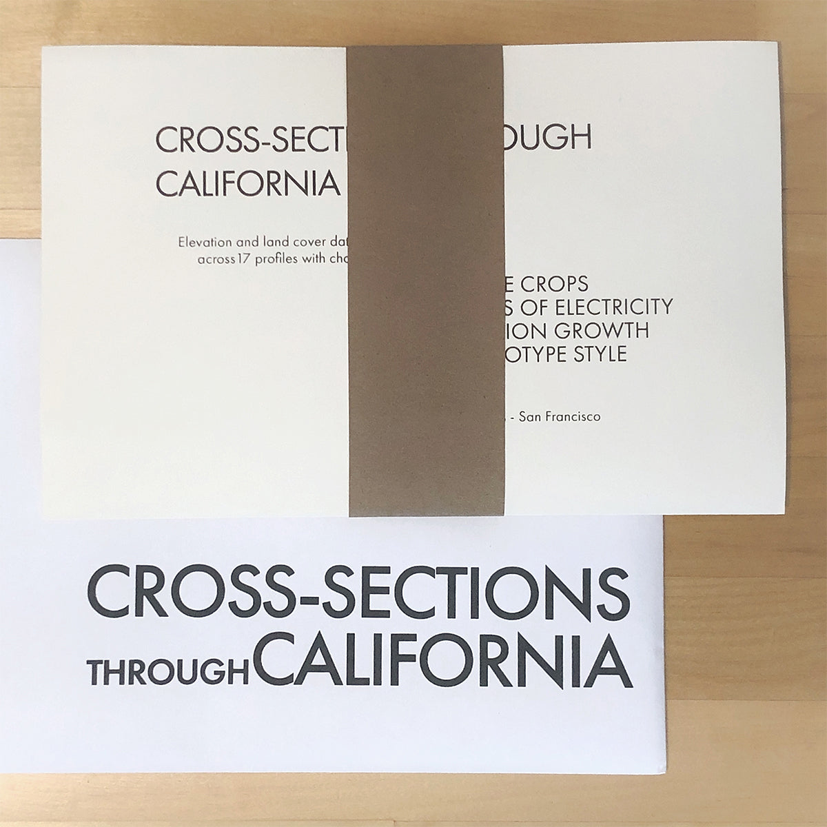
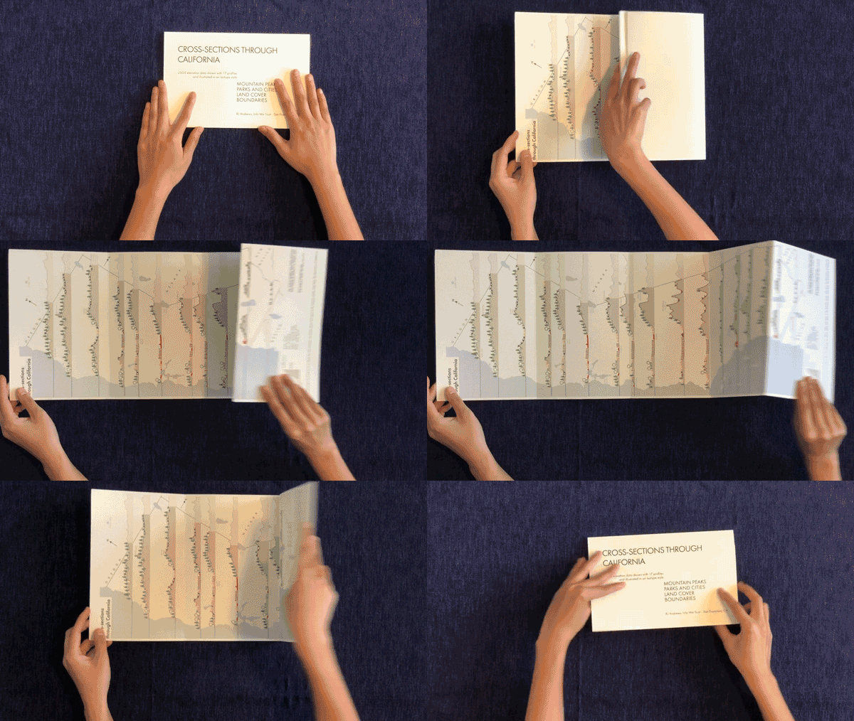
The folded map arrives in a kraft paper belly band and tucked in its custom sleeve, which can be used to store it for easy reference. If you would like hang the map we recommend a 10" magnetic wood hanger set.

